Stars
Forks
Watchers
Developer links
Reitti
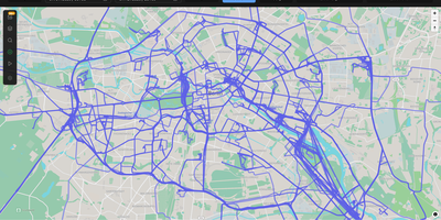
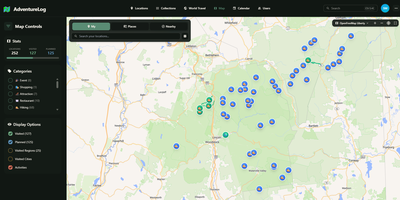
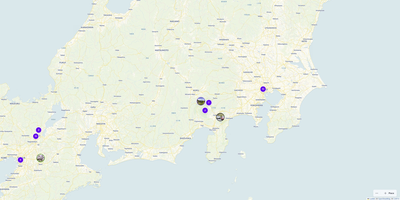
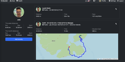
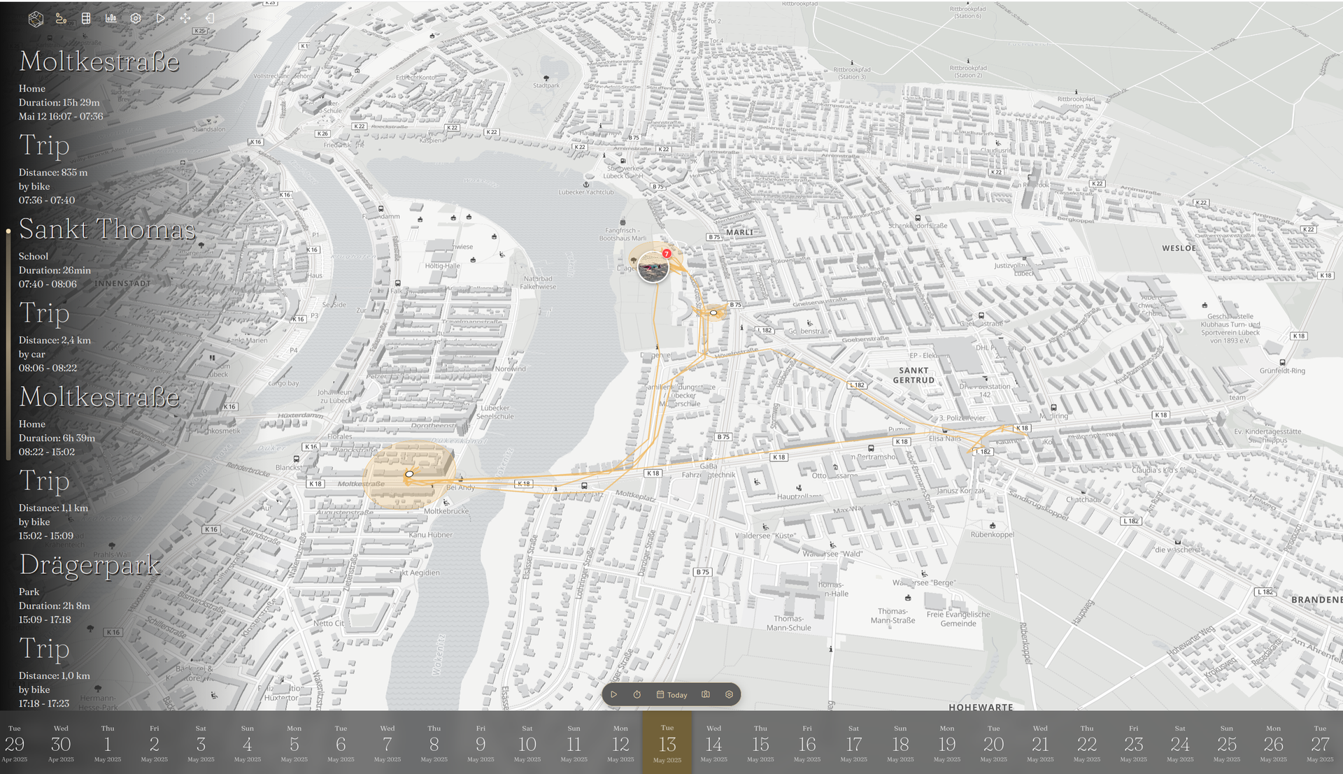
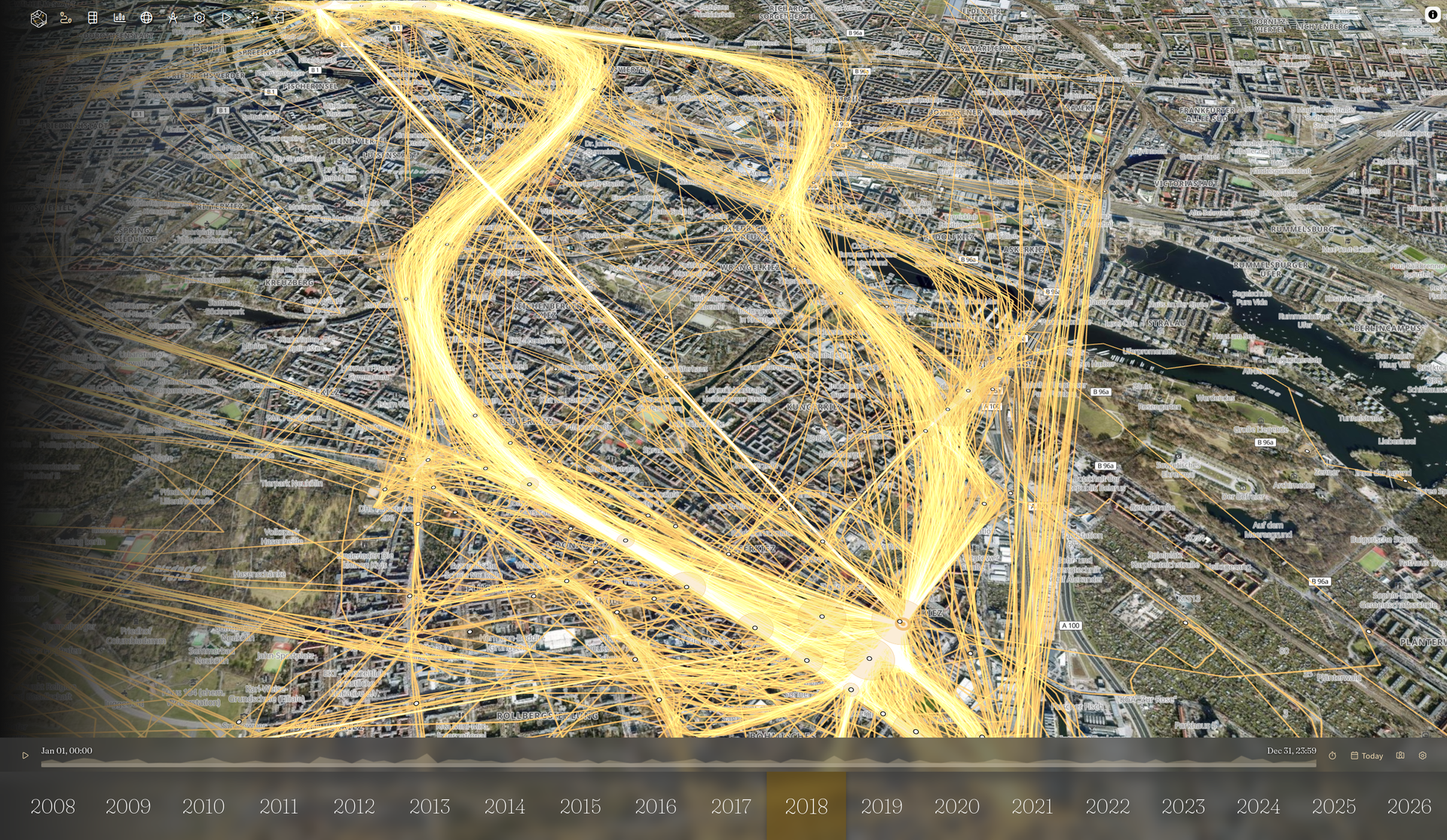
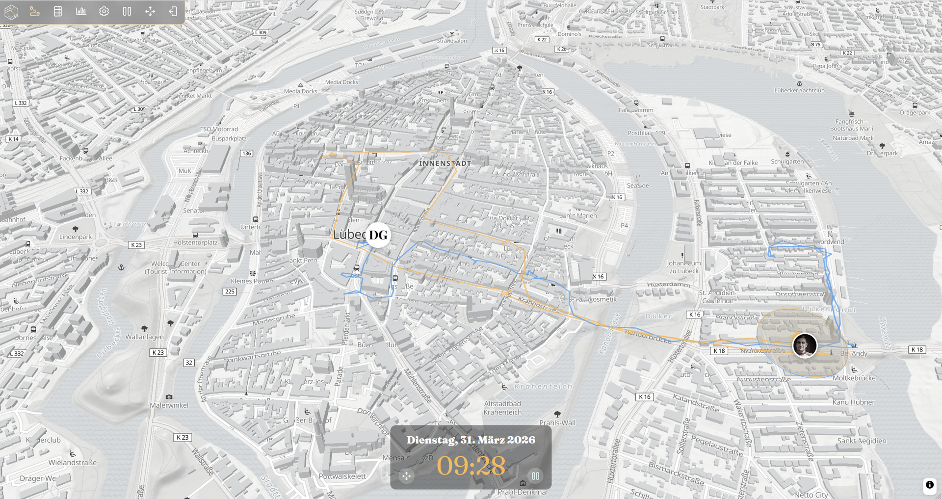
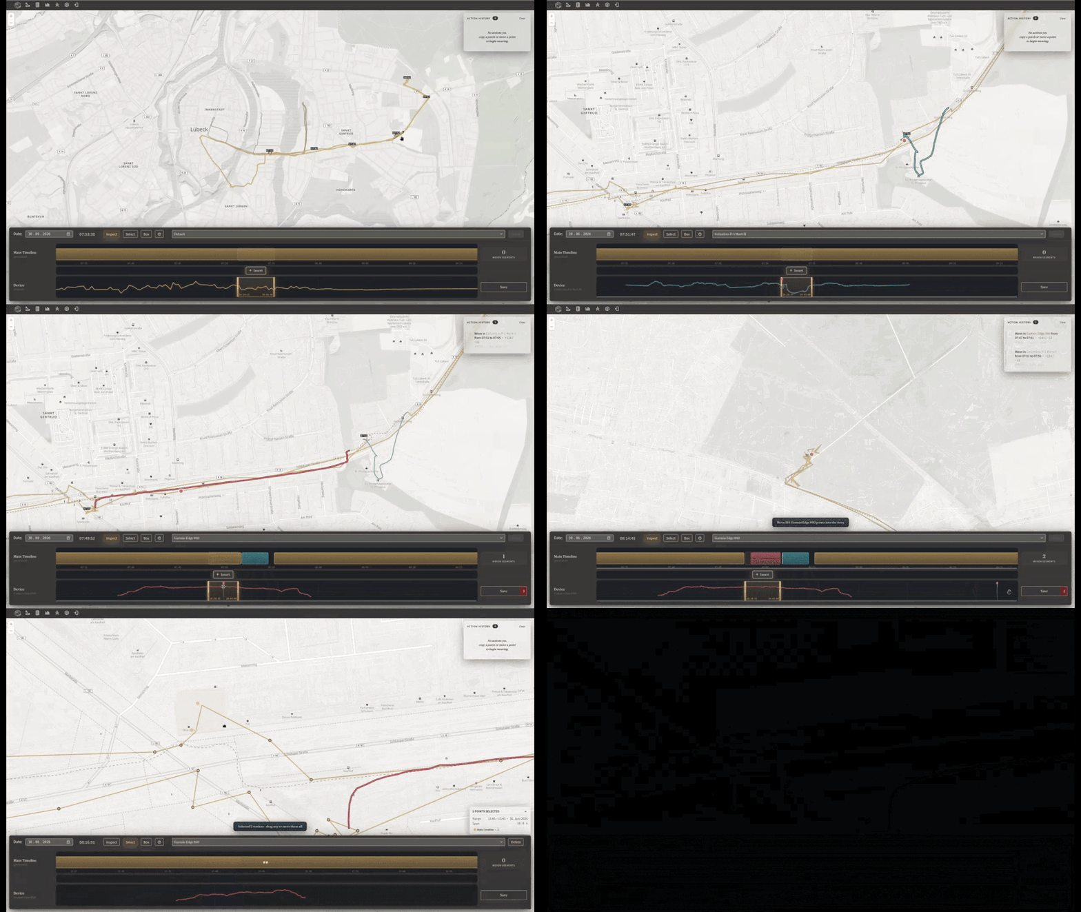
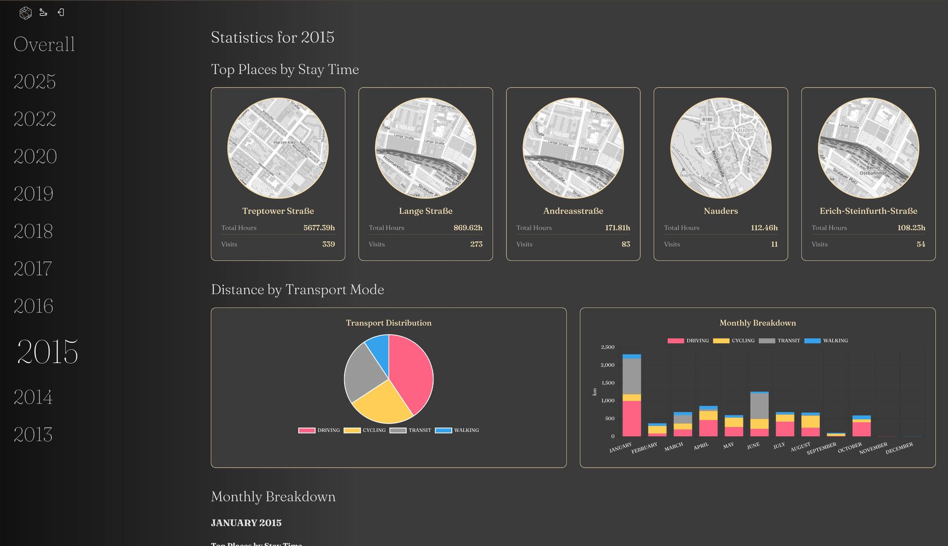
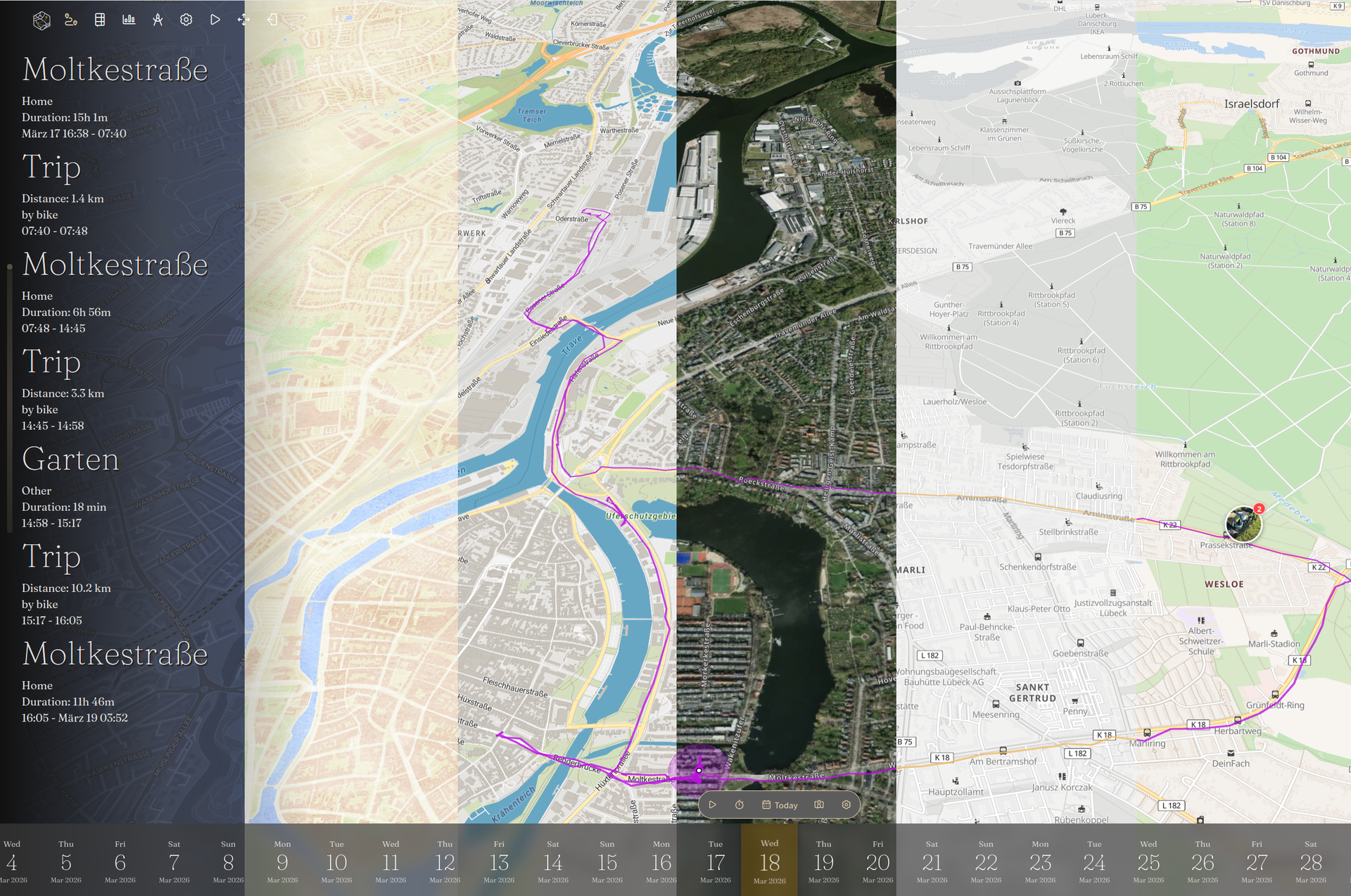
Reitti turns raw GPS coordinates from your phone and fitness trackers into an interactive daily timeline and private map that replaces Google Timeline and Life360 without sending your movement history to third-party clouds. Every coordinate you record is analyzed automatically to detect stationary visits, recognize significant places, and classify trips between walking, cycling, and driving with exact duration and distance metrics. Stream real-time updates from OwnTracks, GPSLogger, Overland, or Home Assistant, or upload historical archives from GPX files, GeoJSON, Google Takeout, and Google Timeline exports. Switching between a smartphone and a dedicated cycling computer never fragments your history. The visual workbench lets you stitch multi-device recordings across any time range, drag misplaced GPS points into position on the map, and delete signal outliers with a single click. Connect a self-hosted Immich server so geotagged photos appear directly alongside the routes and stops where you captured them. Turn memorable trips into narrative travel logs with customizable text, map, and photo blocks. Need to coordinate a meetup or share your arrival time? Share live positions with family members on the same server, federate across trusted instances, or send revocable magic links to friends without accounts. Customize your view with custom vector styles from MapTiler or Stadia Maps and explore movement statistics across top destinations. Running on a dedicated VPS on RepoCloud with guaranteed CPU, RAM, and SSD, full root SSH access, and a browser serial console. AGPL-3.0 licensed.
Benefits
- Complete Ownership of Personal Location History
- Keep decades of sensitive GPS coordinates, daily commute patterns, and home addresses isolated inside your own PostgreSQL PostGIS database with multi-user separation and OpenID Connect single sign-on authentication.
- Automated Visit and Transport Mode Detection
- Transform raw latitude and longitude streams into structured daily timelines that automatically distinguish stationary visits at named places from walking, cycling, and driving segments with distance and duration calculations.
- Interactive Multi-Device GPS Data Workbench
- Combine tracks from smartphones and dedicated GPS loggers into a unified timeline while dragging drifted coordinates back onto roads and deleting erroneous signal spikes directly on the interactive map.
- Federated Live Sharing and Magic Links
- Broadcast real-time positions to family members on your instance, federate live location feeds across trusted remote Reitti servers, or generate revocable time-limited magic links for guests without user accounts.
Features
- Real-Time Mobile App Ingestion
- Accepts continuous background location streams over HTTP REST endpoints from OwnTracks, GPSLogger, Overland, and Home Assistant using per-user API tokens.
- Historical Archive Bulk Import
- Imports multi-year location histories from Google Takeout JSON, Google Timeline exports, GPX tracks, and GeoJSON files via asynchronous queue-based batch processing.
- Immich Geotagged Photo Timeline
- Integrates with self-hosted Immich photo servers to display geotagged images on the daily timeline and map at the exact coordinates where they were taken.
- Custom Vector Map Styles
- Supports uploading custom map style JSON files, linking MapTiler or Stadia Maps vector sources, and running an optional local tile cache service.
- Memories and Movement Statistics
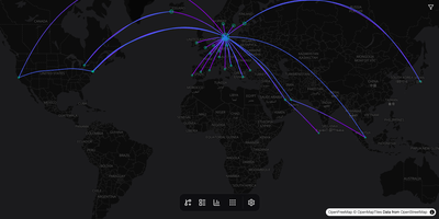
- Builds shareable travel journals with text, map, and image blocks while generating analytical charts for travel distance, top visited places, and transport modes.